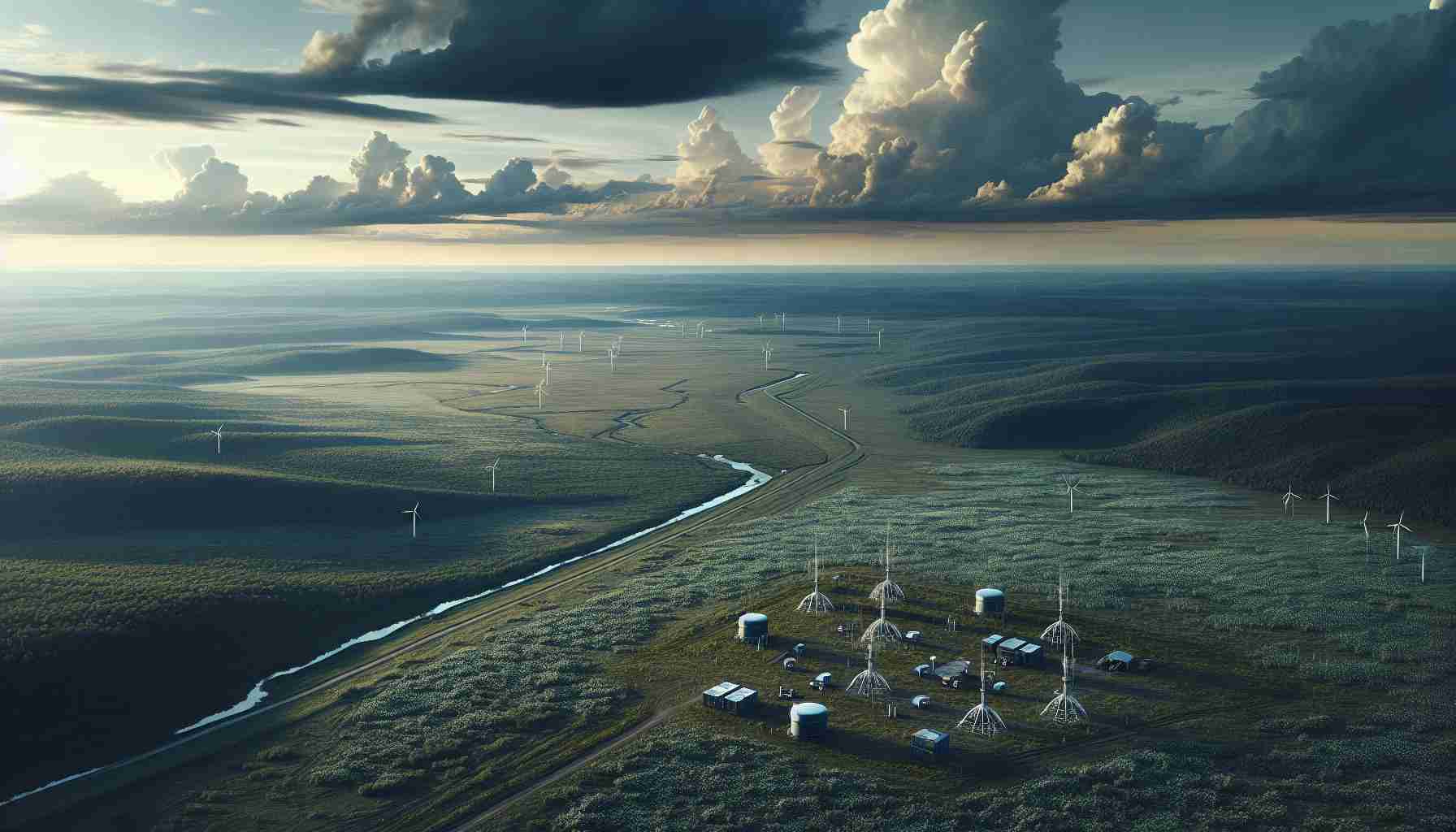
In the Tula region of Russia, a cutting-edge initiative is being employed to combat the spread of Sosnovsky’s Hogweed, a harmful invasive species.
The regional government announced that they are employing artificial intelligence (AI) technology to identify areas where the noxious weed is growing. By leveraging satellite imagery, the AI system can survey the land and develop a work plan to tackle the infestation based on the data collected.
However, for the time being, the satellite data requires verification. Workers from the administration will manually inspect the affected zones. This not only aids in confirming the accuracy of the satellite data but also plays a crucial role in training the AI to improve its performance over time.
The Minister of Agriculture for the Tula region, Alexey Stepin, shared that currently, the project is exclusive to Tula. With successful implementation and further developments in AI learning, the program is expected to expand across the entire region the following year.
The aim is to establish a technologically advanced and reliable method of detecting and managing the pervasive growth of Hogweed, thereby protecting the local ecosystems and the agricultural productivity of the Tula region.
Most Important Questions and Answers:
Q: What is Sosnovsky’s Hogweed?
A: Sosnovsky’s Hogweed (Heracleum sosnowskyi) is an invasive species originating from the Caucasus region. It poses ecological threats by outcompeting native plants and can cause health issues due to its toxic sap, which can lead to skin irritation and burns upon contact with sunlight.
Key Challenges or Controversies:
One challenge is the reliability of AI in accurately identifying Hogweed infestations from satellite imagery. Mistakes in identification could lead to wasted resources or missed patches of Hogweed. Another issue might be concerns regarding privacy and the ethics of using satellite technology, although such concerns are generally minimal in environmental monitoring.
Advantages:
Using AI and satellite imagery presents many advantages:
– It enables extensive area coverage, which is particularly useful in remote or inaccessible locations.
– The technology can provide real-time monitoring, allowing for quicker responses.
– It can enhance accuracy in identifying affected areas as the AI system learns from the ground truth data.
Disadvantages:
– AI systems require initial training and significant human verification to ensure accuracy.
– The upfront costs for the technology and mapping may be high.
– There might be limitations in the resolution of satellite imagery which can affect the potential to identify small or newly established Hogweed patches.
Suggested Related Links:
– NASA: For information on the latest satellite technology and remote sensing.
– Nature: For scientific research papers on invasive species and ecological management.
Please Note: The URLs provided are main domain links for organizations that typically discuss or study the use of technology in environmental monitoring and management. As of my knowledge cutoff date in early 2023, these URLs are valid. Please verify the URLs before visiting for the most current and accurate information.

